Street scoring engine
Every street segment scored on visual signals — safety, accessibility, liveliness, comfort — conditioned on time of day, weather, and who is travelling.
REST API · GeoJSON tiles● Pre-launch Patent filed · India 2025 Incubated at AIC IISER Pune & IISER Bhopal
Fig. 01 — Pick a traveller, flip day / night. Streets recolour by model score; the route re-computes. Illustrative sandbox — not live city data
What we build
One model family underneath: spatiotemporal vision models trained on street imagery, 3D reconstruction, LiDAR, and on-ground surveys.
Every street segment scored on visual signals — safety, accessibility, liveliness, comfort — conditioned on time of day, weather, and who is travelling.
REST API · GeoJSON tilesRoutes picked by how streets serve the person on them — step-free paths for wheelchair users, well-lit streets after dark, clearance-aware roads for ambulances and fire trucks.
Navigation engine · SDKWard-level maps of how streets perform, for planners and agencies. Synthetic night, fog, and rain scenes fill the data gaps real capture always leaves.
Dashboards · Synthetic scenesHow it works
Street-view imagery, 360° capture, LiDAR sweeps, and on-ground surveys — day and night, dry and monsoon.
Synthetic night, fog, and rain scenes, so the model reasons about conditions no capture van ever drove through.
Vision models score each street on safety, accessibility, liveliness, and more — validated against human surveys.
Scores become routes, APIs, and dashboards — for the traveller, the planner, and the platform in between.
Who it's for
Accessibility audits, safety mapping, and mobility planning that sit alongside your existing GIS stack — not in place of it.
Start a pilot →We grew out of IISER Bhopal and publish our methods. Open to collaborations with planning schools and civic-data labs.
See the research →Liveability scores for listings and traveller-aware routing for mobility apps — street-level signals through one API.
Talk integration →Research
We are researchers first. The methods get published; the production stack stays ours.
A method for scoring street segments along multiple perceptual axes — conditioned on time, weather, and traveller — and routing over those scores. Filed in India.
How a model trained on Indian street scenes transfers to a structurally different urban fabric like Paris — and the failure modes at the boundary.
Paired day–night street imagery for evaluating how scores shift after dark — slated for public release alongside our first paper.
Team

PhD scholar, Data Science & Engineering, IISER Bhopal. AI modelling and geospatial analytics.
Website ↗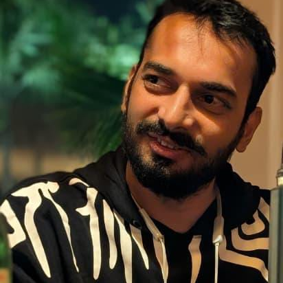
PhD scholar, Data Science & Engineering, IISER Bhopal. AI, LiDAR, and 2D & 3D vision for urban environments.
Website ↗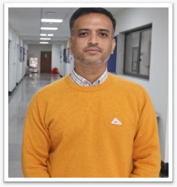
Assistant Professor, Data Science & Engineering, IISER Bhopal. Strategic guidance and academic-industry linkage.
Website ↗Company
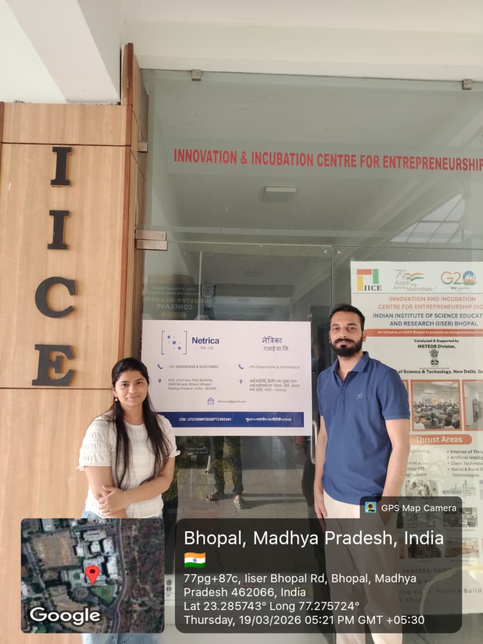
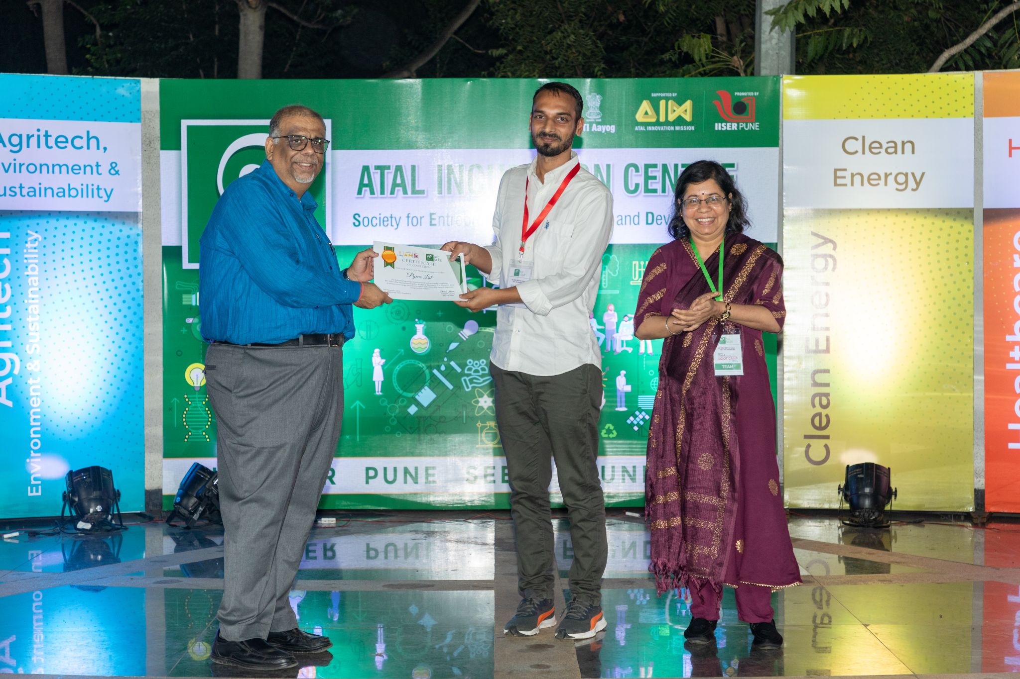
Netrica.AI grew out of doctoral research at IISER Bhopal into how cities can be measured from what they look like. Today it is a pre-launch company with a filed patent, seed support from two IISER incubators, and study areas across India and France.

FAQ
Pilots & partnerships
Planner, researcher, or product team — write to us about your streets and we'll reply within two business days. No sales script.
netrica.ai@gmail.com
+91 95660 65406
Main Building, 2nd Floor, IISER Bhopal — 462066
One email is enough — tell us who you are and which streets you care about.
Email the founders →We read everything ourselves.